Kingsbury Road Covered Bridge was located on Kingsbury
Road just upstream (South) of South Ridge Road. This dirt road was the
earliest to cross the Conneaut Creek permitting travel from town to the
cabins built inside the bend.
It originated on the west side of the creek to the south off South Ridge
Road, crossed the creek, continued to loop southerly down in a gully and
then turned north along the high bank back to the South Ridge Road on the east
side of the creek. Kingsbury Road provided access from town to the
Kingsbury-Matson flour, grist and lumber mill, also known as "The Farmer's
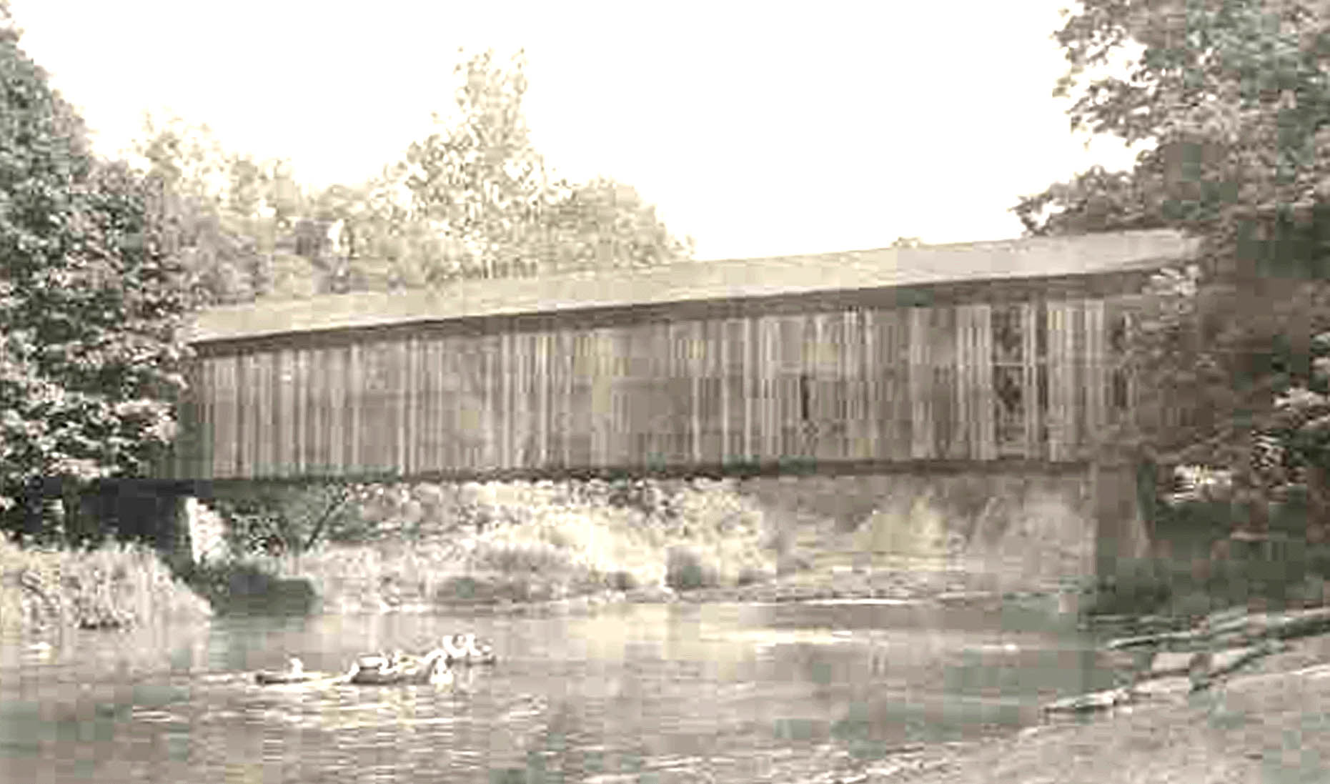
Mill". This bridge was built at the
location of the early ford across the creek, probably soon after the
Kingsbury Mill was built in 1837. The bridge deteriorated to such an
extent that it was closed to traffic in the mid 1940's and fell into the
creek in the mid 1950"s. This picture was taken from the west bank
of the Conneaut Creek looking southeast upstream, circa 1930's.
|